
Description
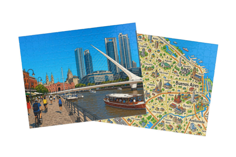
This illustrated map puzzle invites you to explore Buenos Aires neighborhood by neighborhood, tracing the city’s layout along the western shore of the Río de la Plata estuary. As you build, you’ll discover how the city is organized, where its famous barrios sit, and how this vast Argentine capital connects to the river and the wider country around it. Geography has never been more hands-on or more fun.

Reviews
There are no reviews yet.